20,000 Melbourne Homes Newly Flagged for Flood Risk
Warnings have been raised for approximately 20,000 homes across Melbourne suburbs, identifying them as newly susceptible to flood risk. This assessment follows the release of two draft stormwater flooding maps on Thursday. The city's authorities are continuing their work to update flood modelling for the area.
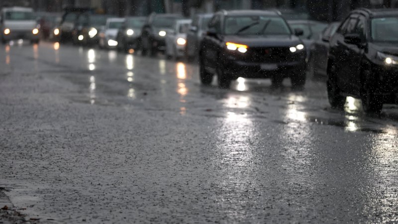
Approximately 20,000 homes situated in various Melbourne suburbs have been newly identified as being at risk of flooding.
This updated risk assessment is based on warnings contained within two draft stormwater flooding maps. These maps were officially released on Thursday as part of the city's ongoing efforts to enhance its flood modelling systems.
The development signifies a continuous process by the city to update its understanding and mapping of potential flood impacts across urban areas.
According to the Sydney Morning Herald, the release of these draft maps is a key step in providing more current flood vulnerability data.